WRITING ON THE FLY
By GEORGE LISET
The snow is gently falling and the fireplace is crackling. It’s a perfect day to break out the maps and apps and think about blue lining. Blue lining refers to the fact that the blue lines on maps indicate rivers and streams, which in turn means the possibility of fishy water. Fly fishers are always on the lookout for new water to fish, especially water that might be enough out of the way that if there are fish in the water, they might not see a lot of fishing pressure.
My love affair for maps began in elementary school when my third-grade teacher pulled down a map of the United States hanging on the chalkboard. The colors mesmerized me and the possibility of visiting exotic places like Yellowstone National Park, Mount Rushmore and the Grand Canyon was exciting. It wasn’t until I became a fly fisher and realized that most of those places had a lot of blue lines and some great fishing did I get even more excited.
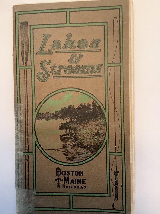
When I would travel cross country or hit up a local antique shop I would be on the lookout for maps. It started out with travel maps handed out at gas stations and expanded to framed works of art. I would peruse each map to see if it would yield any secret fishing information. The art of using a map and compass is becoming a lost one.
I remember a trip to Northern Maine to fly fish to some remote ponds with my friend Charlie. Charlie pulled out a huge map and showed me where we were going to fish. We spent an hour and a half driving on some logging roads and about another hour bushwhacking with float tubes on our backs following game trails. When we finally arrived I asked Charlie how he ever found this place. “With a map and compass, although I got lost a few times, and it did take a couple of years.” I asked him if there were any other ponds around that were more accessible. Charlie said there was, but this one had big fish and only the guides knew about this one and they wouldn’t tell me where it was.
Today’s fly fishers have it a little easier. Google Earth opens up the whole world. You can zero in on any river or stream in seconds and look for access. I have noticed over the years that access is getting more difficult each year, especially in the southern part of New Hampshire. With the building boom in “Tax Free New Hampshire,” people are coming up north and building on prime fishing access. This forces fly fishers to fish water that is already heavily pressured or to drive north a few hours to waters that are protected.
An app that is becoming more popular, especially for the younger fishers is TroutRoutes. This app shows state -by- state every river or stream that contains trout. For an additional fee, the app goes into more detail about these rivers and streams. Having access to the internet definitely allows more time for fishing and less time driving around and wasting gas.
There are times when one likes to explore with an actual map in hand. I have occasionally come across maps that have been used by fishermen. Some are annotated with comments like “Good spot” or “Thirteen inch brown.”
Others might have information such as what fly to use or how many fish caught. A big advantage to using a map is that they don’t require internet, batteries or cell towers. Also, if and when the Zombie Apocalypse comes, you’ll still be able to find all the good fishing spots.
One is always able to view a map, plus they are suitable for hanging, and what is more enjoyable on a winter’s day than looking at a beautiful map and planning that big trip this spring?
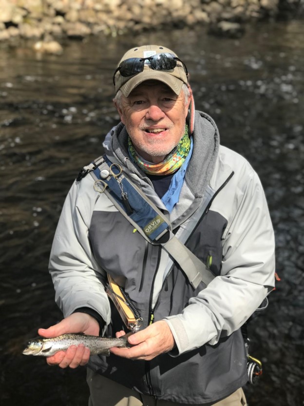
George Liset of Dover is an award-winning outdoor writer and avid fly fisherman who shares insights of his time on the water exploring New Hampshire streams and rivers as well of those around New England. George is a graduate of Wheaton College, Illinois, and the University of New Hampshire. His column Writing on the Fly has been honored by the New England Press Association and the New Hampshire Press Association.