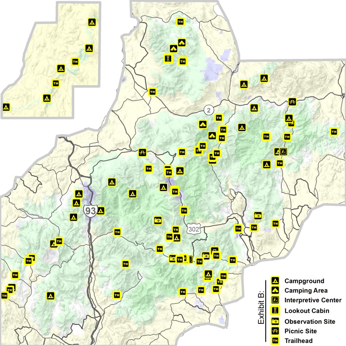
CAMPTON – Citing “unseasonably high numbers of visitors” during the COVID-19 health crisis, the White Mountain National Forest announced Friday it was closing a number of picnic areas, shelters, and dispersed recreation sites. including the popular Lower Falls area on the Kancamagus Highway.
On April 3, it announced the closure of Tuckerman Ravine and other areas on Mount Washington popular with skiers and hikers and the Rumney Rocks sport climbing area.
In a statement, Connie Carpenter, acting forest supervisor, said the move was made in keeping with federal and local guidelines and intended to protect the health and safety of the public and its employees during the pandemic.
The closures are “until further notice.” It includes remote shelters, cabins, and platforms used for camping are now closed as are picnic areas at Zealand, Dolly Copp, Gilead, and Glen Ellis scenic areas.
Some popular trailheads were closed to those who had to arrive there in a vehicle but noted that those who can arrive at the trailhead without driving could access it.
A full closure list is available here.
Closure of trailheads include 50 ft perimeter around identified recreation facility listed below.
ANDRO CLOSURES
Trailheads:
Albany Notch, Alpine Garden, Caribou West/Mud Brook, Direttissima, East Royce/Spruce Hill, Great Gulf Wilderness, Hastings, Imp, Kilkenny Ridge, Nelson Crag, Nineteen Mile Brook, Pine Mtn./Pine Link, Starr King, Thompson Falls, Unknown Pond South, Wild River/Basin, York Pond East
Day Use Area:
Dolly Copp Picnic Area (including pavilion rental), Gilead Picnic Area, Glen Ellis Scenic Area, Great Gulf Parking Area
Dispersed Sites:
Gentian Pond Shelter, Imp Shelter, Mt. Cabot Cabin, Osgood Tent site, Rattle River Shelter, Rogers Ledge Tent site, Trident Col Tent site, Unknown Pond Tent site, Valley Way Tent site
PEMI CLOSURES
Trailheads: Ammonoosuc Ravine, Atwell Hill, Baker Pond, Beaver Brook (Kinsman), Crawford Connector, Ethan Pond, Glencliff, Smarts Mountain/Dorchester Rd (Lyme), Lincoln Woods, Moose Mountain, Ore Hill, Osceola, Townline (Glencliff), Wauchipauka Pond, Welch-Dickey, Zealand (Forest Rd. 16)
Day Use Area: Zealand Picnic Area
Dispersed Sites: Beaver Brook Shelter, Coppermine Shelter, Eliza Brook Shelter, Ethan Pond Shelter, Garfield Ridge Shelter, Guyot Shelter, Hexacuba Shelter, Jeffers Brook Shelter, Kinsman Pond Shelter, Liberty Springs Tentsite, Moose Mountain Shelter, Ore Hill Tentsite, Smarts Mountain Cabin and Tentsite, Three Ponds Shelter, Trapper John Shelter, Velvet Rocks Shelter
SACO CLOSURES
Trailheads: Albany Covered Bridge, Baldface, Basin, Boulder Loop, Carter Ledge, Champney Falls, Davis Path, Dowens Brook, Ferncroft, Hammond, Kearsarge North, Liberty/Brooke/Bolles, Olivarian Brook, Piper, Royce Mountain, Sawyer Pond (Kanc. Hwy), Sawyer Pond (Upper Sawyer River Rd.), Sawyer River (Kanc. Hwy), Signal Ridge, South Moat Mountain, Webster-Jackson, Webster Cliff, Weeks Brook, White Ledge
Day Use Area: Brickett Place Interpretative Sites, Diana’s Bath, Kearsarge Tower Observation Site, Lower Falls Recreation Site, Mt. Carrigan Observation Site, Rocky Gorge Scenic Area, Russell-Colbath Historic Site, Sabbaday Falls Observation Site
Dispersed Sites: Baldface Shelter, Camp Penacook Shelter, Jim Liberty Cabin, Nauman Shelter Tentsite, Sawyer Pond Shelter and Tentsite


