Click here to find the most up to date report on Henri’s impact here: https://www.weather.gov/gyx/
Staff update
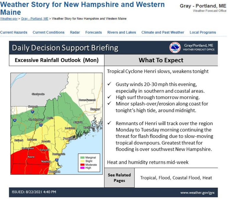
The National Weather Service predicts Henri will weaken Sunday night with winds gusting 20 to 30 mph in some places in New Hampshire especially in southern and coastal areas with high surf through Monday morning.
Henri is expected to track over the region Monday to Tuesday with a continued threat of flash flooding due to slow-moving tropical downpours with the greatest threat of flash flooding over southwest New Hampshire, according to the National Weather Service.
.
Earlier Sunday, the Department of Safety, Homeland Security, issued the following news release:
Tropical Storm Henri made landfall on Sunday in Southern New England and started moving toward New Hampshire bringing heavy rains and power outages.
The New Hampshire Department of Safety Division of Homeland Security and Emergency Management activated the State Emergency Operations Center on Sunday to monitor changes in the storm and support local communities.
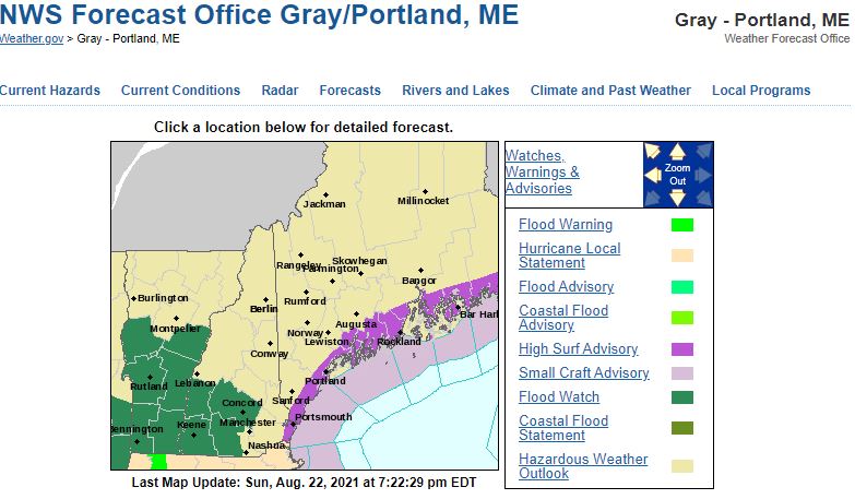
A Flood Watch is in effect for parts of Hillsborough, Cheshire, Merrimack and Sullivan counties through late Monday night. The most recent forecast predicts Henri crossing New Hampshire on Monday as a tropical depression but residents and visitors should not let their guards down. Remain vigilant because storm conditions can change at any time.
“Heed instructions from local officials,” said?state?Homeland Security and Emergency Management Director Jennifer Harper. “Monitor local weather forecasts and know what to do if flooding and power outages occur. Stay away from downed wires and never drive through flooded roadways. Remember the saying ‘turn around, don’t drown’ as most flood deaths happen in vehicles.”
If you do lose power, report the outage to your utility provider at least once daily until power is restored:
Eversource 1-800-622-7764
Liberty Utilities 1-855-349-9455
NH Electric Co-Op 1-800-343-6432
Unitil 1-800-301-7700
If your neighborhood is without power, don’t forget to check on friends and neighbors when it is safe to do so, especially the elderly or those who many need additional assistance.
Harper offers the following safety tips:
· Visit ReadyNH.gov to learn more about keeping safe during emergencies.
· Sign up for NH Alerts or download the NH Alerts mobile app to receive free emergency notifications including weather alerts from the National Weather Service.
· Monitor National Weather Service radio or broadcast weather reports to keep track of changing conditions. If a Flash Flood Warning is issued for your area, immediately seek higher ground.
· Avoid walking or driving through flood waters.
· Just 6 inches of moving water can knock you down, and 1 foot of water can sweep your vehicle away. Use a stick to check the firmness of the ground in front of you.
· If you must evacuate, secure your home, including disconnecting electrical appliances.
· Never use generators inside homes, garages, sheds or crawlspaces. Set up your generator at least 10 feet away from your home with the exhaust facing away.?
· Hikers and campers should seek shelter indoors and heed instructions from local officials.
· Rip currents can be stronger both before and after a storm. Avoid beach activities until weather conditions improve.
For Emergencies, call 9-1-1. If you cannot call, you can text 9-1-1 for emergencies in New Hampshire.
.