By PAULA TRACY, InDepthNH.org
PORTSMOUTH – Melting glaciers and ice sheets thousands of miles away are now major contributors to sea-level rise on New Hampshire’s Seacoast, according to a report intended for coastal land use planning.
“I
think we don’t necessarily see that happening first-hand but yet we are seeing
the impacts,” said Elizabeth Burakowski, a scientist at the University of
New Hampshire’s Earth Systems Research Center.
She said impacts of such melting can be mitigated and there are things that can
be done at the local, state, national and international level that can slow
down climate change.
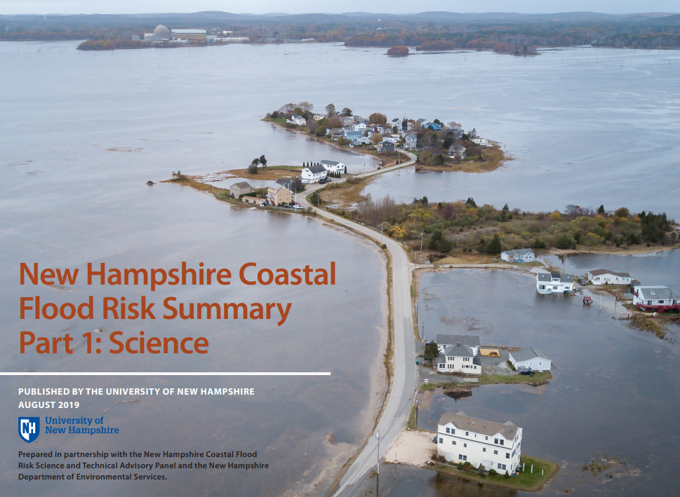
The 80-page New Hampshire Coastal Flood Risk Summary, Part I: Science was released last month. It also finds that impacts from storm surge in coastal New Hampshire will increase with relative sea-level rise; that the frequency of extreme precipitation events is projected to increase over the course of the next several decades, especially in the springtime and that means groundwater levels are expected to rise as a percentage of relative sea-level rise.
Finally, the report indicates that freshwater flooding is expected to increase in the future.
The 2019 New Hampshire Coastal Flood Risk Summary is comprised of two parts, including a summary of the science (Part I) and guidance for how to use the science in decision-making (Part II – DRAFT).
Part II of the New Hampshire Coastal Flood Risk Summary builds on Part I and provides DRAFT Guidance for using the scientific projections of coastal flood risks in New Hampshire.
The DRAFT Guidance presents overarching principles and a step-by-step approach for incorporating projections for relative sea-level rise, coastal storms, groundwater rise, and extreme precipitation into state and local land use planning and decision-making.
The DRAFT Guidance also includes tools to facilitate the use of the scientific projections, including a worksheet and a Sea-Level Rise Mapper.
The 2019 New Hampshire Coastal Flood Risk STAP Steering Committee is seeking input on the DRAFT Guidance throughout the month of September.
Public input workshops were held in Rye and Newmarket.
The deadline to submit comments on the DRAFT New Hampshire Coastal Flood Risk Summary – Part II: Guidance for Using Scientific Projections is Monday, Sept. 30.
To download the report visit https://scholars.unh.edu/ersc/210/
The study was funded in part by a federal NOAA Grant under the Coastal Zone Management Act in conjunction with the state Department of Environmental Services Coastal Program.
It indicates that sea level in New Hampshire is rising and is projected to rise for centuries.
Relative sea level is likely to rise between 0.5-1.3 feet by 2050 and between 1.0 – 2.9 feet by 2100 if global greenhouse gas concentrations stabilize, the report states.
However, it notes, there is a risk of much greater sea-level rise if global greenhouse gas concentrations continue to grow and the rate of ice mass loss from Antarctica accelerates rapidly.
The state has convened representatives of the New Hampshire Department of Transportation, the New Hampshire Division of Homeland Security and Emergency Management, New Hampshire’s Office of Strategic Initiatives, New Hampshire Department of Administrative Services, New Hampshire Fish and Game, the New Hampshire Department of Natural and Cultural Resources, Rockingham Planning Commission, Strafford Regional Planning Commission, and the University of New Hampshire to work on this issue.
The agencies are charged, under a law passed by the legislature, to supervise an update of storm surge, sea-level rise, precipitation, and other relevant projections originally summarized in the 2014 report to the New Hampshire Coastal Risk and Hazards Commission.
Part I was reviewed by an external panel of regional experts, including representatives from the Northeast Regional Climate Center at Cornell University, Massachusetts Institute of Technology, Purdue University, Rutgers University, U.S. Geological Survey, HydroAnalysis, Inc., and the National Oceanic and Atmospheric Administration.